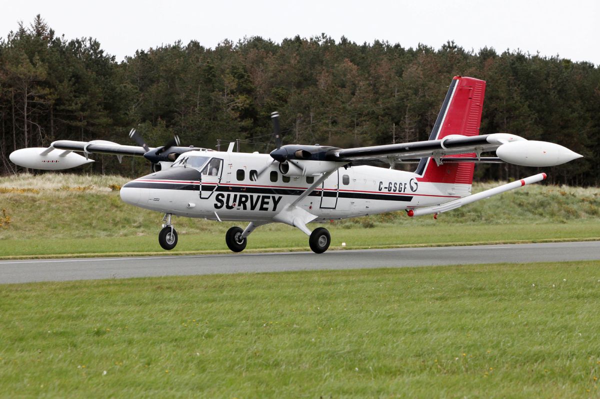
Geological survey plane collecting geophysical data

The survey airplane is a white, twin propeller plane, which is easily identified by its red tail and black stripe as well as the word ‘SURVEY’ and registration number C-GSGF written across both sides of the plane.
Tellus is a national mapping programme to collect geochemical and geophysical data on rocks, soil, and water across Ireland. It began 13 years ago as a collaborative effort between the geological surveys of both Ireland and Northern Ireland. To gather this data, scientific equipment is fitted to a plane which flies in a grid pattern.
In 2024, the survey plane will be based at Shannon Airport, and will be flying at 60 metres over rural areas – about eight times the height of a two-storey house – and 240 metres over urban areas over the coming months, as approved by the Irish Aviation Authority. It will take to the skies over counties Kerry and Cork and parts of Limerick from June until the end of the autumn, weather permitting.
According to Dr James Hodgson, Geological Survey Ireland and Tellus project manager: "It’s fantastic to have the plane in the skies again for the final phase of airborne surveying. With over 80 per cent of the island already covered, our team is looking forward to tackling the remaining portion of this substantial project. The airborne data already produced has helped us to improve our geological maps, enhance radon risk mapping and facilitated new research on environmental pollution, agricultural productivity, and the study of peatlands.”
The programme aims to have 100 per cent of Ireland mapped by the end of 2025, with the resulting data having the potential to deliver positive economic, environmental, and agricultural benefits by helping to assist in understanding the local environment, soil management and natural resource potential for these counties. Data collected throughout the Tellus project is published and made freely available to all on the Tellus website (www.tellus.ie).
Due to the low-flying altitude of the survey aircraft, anyone concerned about sensitive livestock is encouraged to contact Tellus (frr of charge) on 1800 45 55 65.


