Two landmark publications launched to support Ireland’s biodiversity

The Atlas of Butterflies in Ireland presents a comprehensive account of Ireland’s butterflies from approximately 2010 up to the end of 2021. It is the culmination of an all-island collaborative effort by the National Biodiversity Data Centre, Butterfly Conservation Ireland and Butterfly Conservation Northern Ireland. The book draws on over 400,000 records which were contributed by more than 6,500 individuals.
Butterflies are good indicators of environmental quality in Ireland. They are sensitive to changes in climate and respond quickly to different land management decisions. The atlas includes records along with distribution maps for 40 butterfly species that have been recorded in Ireland, including 32 resident species.
The atlas assesses key trends in butterfly populations over the period between 2010 and 2021. Of the resident species recorded:
- 16 showed no significant change in distribution;
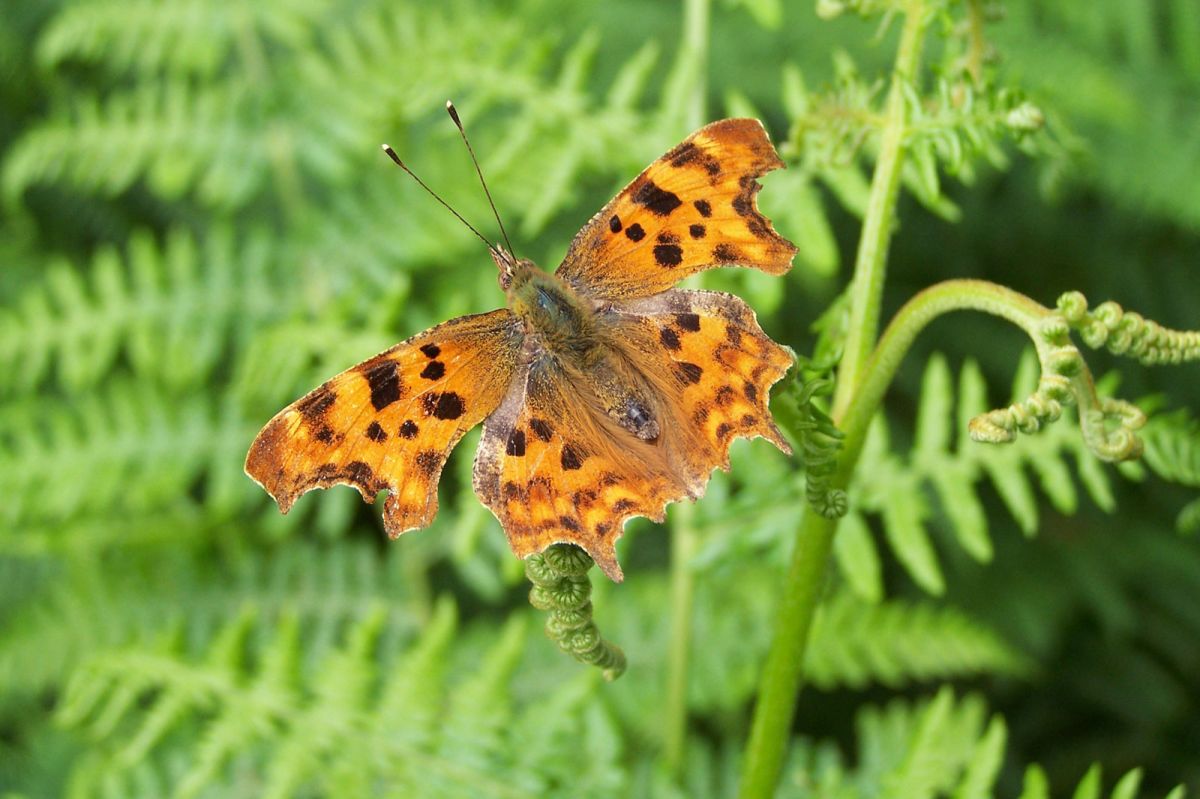
- Seven species increased in their range, with the Comma butterfly showing the largest expansion in range since it was first recorded in Wexford in 2000. It is now common in the southern part of the country. This is considered a natural expansion due to climate change;
- Nine decreased in range with the most dramatic being that of Wall. It has died out from large parts of the midlands, and is becoming increasing confined to coastal habitats. It is thought that this decline is the result of dual factors associated with excess nitrogen in the environment and a changing climate.
The research shows that while changing environmental conditions results in more favourable habitat conditions for a small number of resident species, it primarily creates conditions that are less favourable, leading to the decline in many species of butterflies in Ireland.
This book was launched by Minister of State for Nature, Heritage and Biodiversity, Christopher O’Sullivan who also launched the Handbook for the Irish Vegetation Classification. This publication describes and maps in detail all aspects of natural and semi-natural vegetation in Ireland within a single, unified framework. It is based on the statistical analysis of quantitative vegetation data from approximately 27,000 plots and lays out the links between vegetation community types and important habitat types allowing ecologists to make more informed and consistent decisions relating to habitat mapping.


